

Maps and Trails
Garden Map
Explore Jurong Lake Gardens with ease, download our brochure here!
Garden Trails
We have a range of trails that you can refer to if you wish to explore the Gardens. Ranging from 30 to 60 minutes in duration, there should be one that suits your needs. These trail guides (PDF files) can be accessed through your smartphone or tablet.
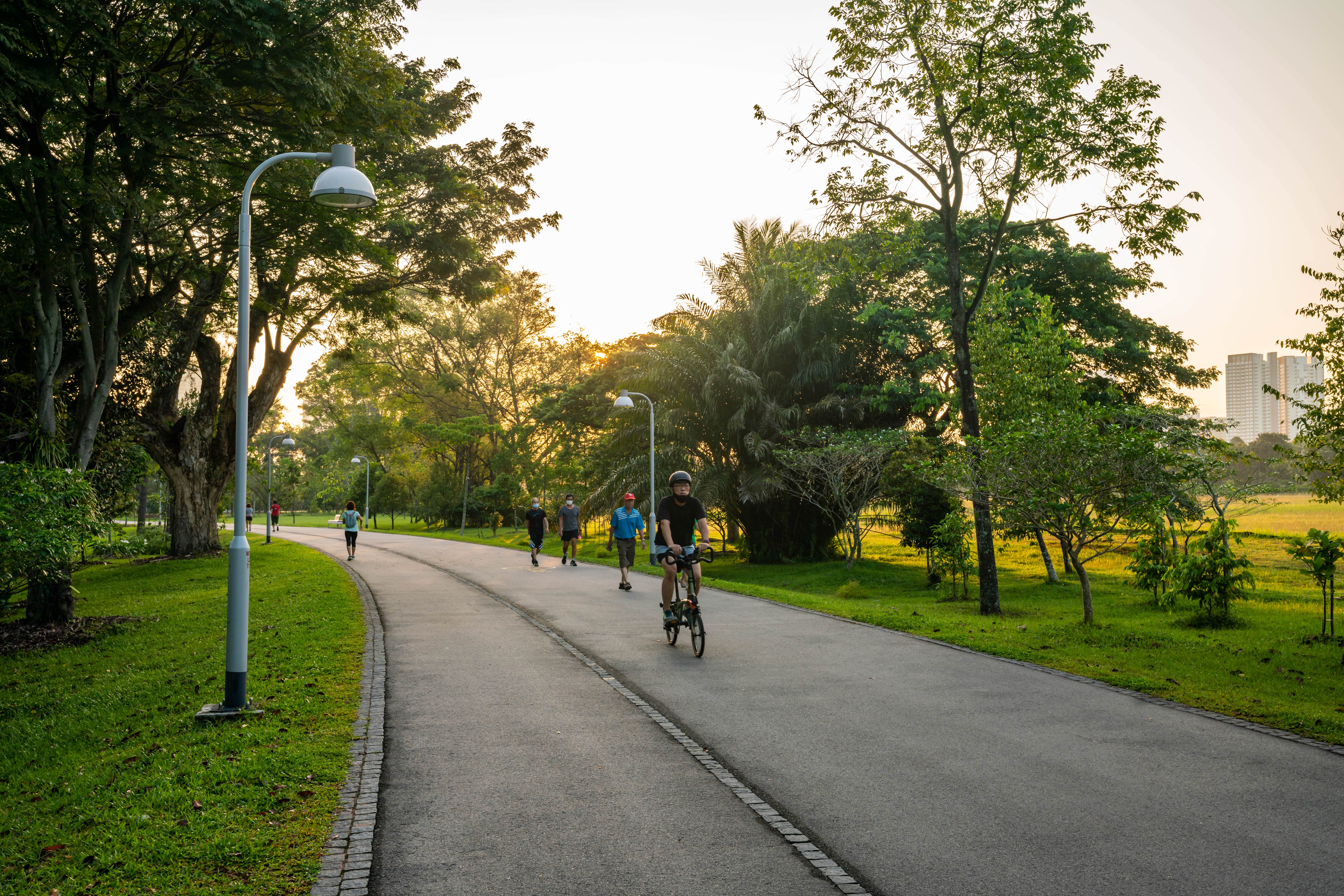
Cycling Trails
Cycle along the Park Connector Network and Coast to Coast Trail while enjoying the sights and sounds of nature.
Park Connector Network - Round Island Route
The Round Island Route (RIR) is a continuous 150 km park connector that goes around Singapore. The RIR complements existing park connectors – connecting natural, culture, historical and recreational sites – and bringing communities closer together.
The main path in Lakeside Garden at Jurong Lake Gardens will be part of the RIR, providing a link between the west side of Singapore and its southern end.
Find out more about the RIR at the NParks website.
Coast to Coast (C2C) Trail
The C2C Trail stretches 36 km, extending from Jurong Lake Gardens to Coney Island Park. The trail passes through parks and nature areas such as Bukit Batok Nature Park and Bishan-Ang Mo Kio Park.
Visitors will find a variety of in-app and onsite activities to keep them busy while exploring the trail. Find out more about the trail on the Coast to Coast app and at the NParks website.
Cycling within the Gardens
There are popular attractions within Jurong Lake Gardens with high visitorship and we are mindful to maintain a conducive garden ambience for visitors to enjoy attractions, horticultural collections, landscape and curations.
As such, cycling, riding and personal mobility devices (PMDs) are not allowed in some attractions; you may refer to the map here for more information.
Wheelchairs and Personal Mobility Aids (PMA) are allowed in throughout the Gardens to ensure accessibility for those with mobility challenges.